1 hour ago
About sharing
Amber severe weather warnings for wind have been issued by the Met Office ahead of Storm Ciarán moving in on Wednesday night.
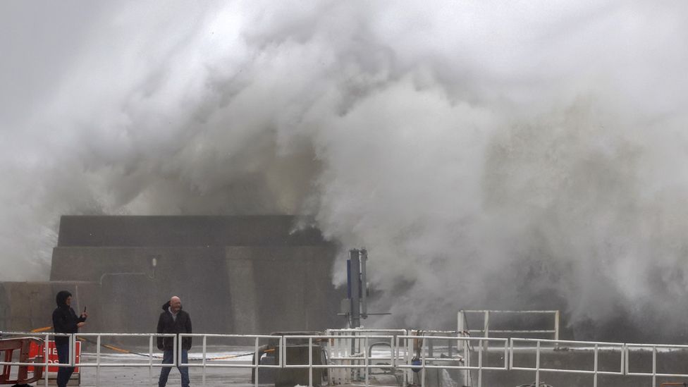
Damaging gusts of wind and stormy seas are expected in southern parts of the United Kingdom.
Heavy rain will also spread northwards which may lead on to further flooding issues.
Travel disruption is likely in some areas so the advice is to stay tuned to updates.
Storm Ciarán (pronounced Keer-on) will be rapidly developing on its approach to the UK later on Wednesday. In a process called explosive cyclogenesis, the low pressure system will deepen by over 24 millibars in 24 hours.
This explosive cyclongenesis is being driven by a very powerful jet stream – winds high in the atmosphere – with speeds of around 200mph (322km/h). This contains a lot of energy for the storm system to develop.
Storm Ciarán could indeed be one of the deepest areas of low pressure recorded in November in the UK, close to the current record of 948.4mb in 1954.
Strong winds
Winds will strengthen from later on Wednesday and through Thursday as Storm Ciarán approaches from the south-west.
The strongest winds are initially likely across south-west England and south-west Wales, which are within the first of two amber warning areas. This is valid from 3am until noon on Thursday.
Gusts of 70-80mph (112-130km/h) are expected around coastal areas, perhaps even 85mph (137km/h) in the most exposed locations.
The strongest winds will then transfer east along the south coast into south-east England where a second amber warning is valid from 6am to 8pm on Thursday.
These wind strengths have the potential to bring damage to trees and power lines with transport disruption likely. Cross channel ferries could be especially disrupted.
Very large waves could bring additional impacts to coastal areas of the English Channel.
Inland gusts across southern parts of the UK could be as high as 50-60mph (80-97km/h) which again can bring some disruption and damage.
The Met Office points out that the extent of these high winds remains a little uncertain and is dependent on the exact track of Storm Ciarán.
Heavy rain
Rain associated with Storm Ciarán will move north-east from Wednesday evening and throughout Thursday.
Persistent and heavy rain will be followed by heavy showers and thunderstorms.
There are severe weather warnings in force for southern England, parts of Wales, north-east England and Northern Ireland suggesting widely 20-40mm (1-2in) of rainfall with 40-60mm (2-3in) possible over high ground.
Flooding
While rainfall totals expected with Storm Ciarán are not necessarily high or unusual with autumn storms, problems are likely as it comes after a very wet period for many.
River levels remain high with ground already very saturated. There are also still around 70 flood warnings in force across the UK.
Stay tuned for updates
Because the exact track Storm Ciarán is likely to take is still a little uncertain, there may be further updates as it approaches.
The track will influence the timing and strength of the most damaging winds so that may still change slightly.
It would therefore be worth staying across the forecast and warnings on our BBC Weather website or social channels.
