1 hour ago
About sharing
You might have heard rumours that cold weather and snow are in the outlook.
It is certainly true that temperatures are set to tumble by the end of the week, but before you dust off the toboggan or, dare I say it, start dreaming of a white Christmas, it might be worth taking a closer look at the forecast.
How cold is it going to get?
None of what is heading our way is unusual for late November – but it will feel like a big change from what we have had so far this autumn.
An unprecedented September heatwave gave way to a mild and wet October – and that trend has continued so far this month.
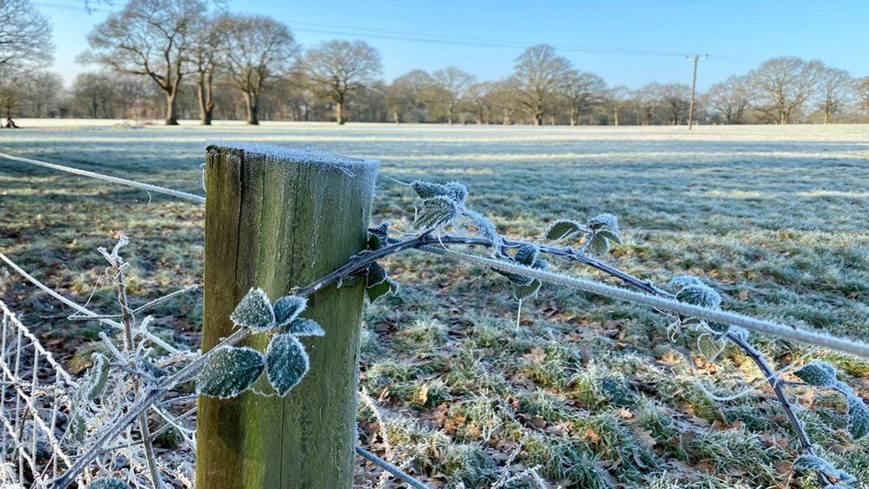
But by the weekend, temperatures in many areas are expected to fall below the seasonal average, particularly in the north and east. We will see daytime highs in single digits for most, with night-time frosts also becoming a feature.
This is far from extreme though. The UK’s lowest November temperatures on record came on 14 November 1919, when Braemar in Aberdeenshire saw a daytime high of -11.1°C, and a bone-chilling overnight low of -23.3°C!
Why the change?
As so often with our weather, it comes down to the jet stream.
For much of the autumn the jet stream has been racing across the Atlantic, bringing westerly winds and spells of mild, wet and sometimes stormy weather.
But this week the shape of the jet stream is shifting. It will be blowing down from the north or the north-west, bringing northerly winds and a flow of air from the Arctic.
It will feel particularly chilly in eastern and northern parts exposed to the strongest of those winds.
Will there be snow?
Whilst tumbling temperatures will bring the first widespread frosts of the season snow lovers in most parts of the UK are likely to be disappointed.
Snowy scenes like this aren’t expected to be seen by most. Higher pressure is forecast to bring a window of drier weather into the weekend offering a welcome break from the relentless rain of recent weeks.
Lower pressure to the east will bring some showers – especially in northern and eastern Scotland and along the east coast of England. But while we could see a bit of snow for a time over in the north-east Highlands, at lower levels further south it looks unlikely to be cold enough for any snow.
Through next week rain will return at times moving west to east, which could turn to sleet or snow in places, but this is only likely over the highest ground such as the Pennines and the Scottish Highlands.
Will the cold weather last into December?
Weather forecasts generated by computer models are starting to show increasing confidence that cold weather is set to last into the start of December, which of course also marks the beginning of the meteorological winter.
With high pressure to the north-west and the jet stream shifting south this will allow winds to come in from the north. It won’t be completely dry, there could be some rain at times, falling as snow on the hills and maybe even to lower levels in some places. Frost and ice will form overnight.
However, different weather forecasting supercomputers are showing differences in detail further ahead, highlighting the uncertainty in the forecast. At the moment it looks as if we could be in for an extended period of colder than average weather, which leads us to the next question…
What are the chances of a white Christmas?
The long-range models are uncertain at this stage, even into next week. But for a white Christmas we only need a flake or more of snow to fall on Christmas Day somewhere in the UK, so statistically there is a reasonable chance.
As winter arrives and the festive season approaches you can stay in touch with the forecast on TV, online and on the BBC Weather app.
14 November
7 November