19 minutes ago
About sharing
Winds from the Arctic will bring some very cold weather early next week.
There will be some widespread frosts with temperatures as low as -10C (14F) in rural parts of the UK.
The Met Office has issued yellow weather warnings for snow and ice in northern Scotland on Sunday and Monday, and Northern Ireland on Monday, with snow possible elsewhere too.
There is some uncertainty due to different weather systems battling for influence on conditions.
Arctic winds will become established across the UK by Sunday, bringing a drop in temperature and widespread overnight frosts.
In both areas covered by its warnings, the Met Office said some roads and railways were likely to be affected with longer journey times by road, bus and train services.
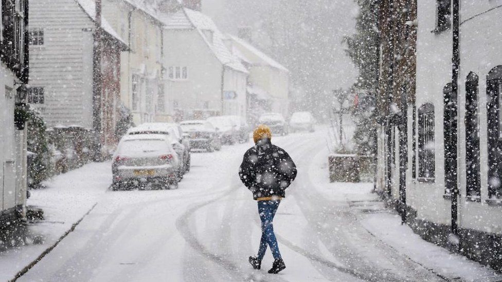
The forthcoming cold snap will not bring the first snow of the year – earlier this week saw snow showers across parts of southern England and south Wales.
On Monday, the UK Health Security Agency (UKHSA) and the Met Office issued an amber cold weather warning for the South West, South East, West Midlands, East Midlands and North West parts of England until 12:00 GMT on Friday.
An amber alert means that the impact of cold weather is likely to be felt across the whole health service for an extended period of time.
It has now issued a yellow alert for England for a further week, warning of an increased use of health care services by vulnerable populations and an increase in risk to health for people aged 65 years and over, those with pre-existing health conditions, and some other vulnerable groups, such as those sleeping rough.
“It therefore vital to check in on friends, family and neighbours to ensure they are well prepared for the cold weather next week,” said UKHSA’s Dr Agostinho Sousa.
The cold weather also follows heavy rainfall and flooding across England, which saw hundreds of homes damaged.
Some 52 warnings of expected flooding are in place in England, and one in Wales.
How cold could it get?
The colder, northerly airflow will see snow showers affecting northern areas of Scotland and down North Sea coasts at the start of the week. These could become more widespread with more significant snow in more populated areas across Scotland, Northern Ireland and northern England.
The Met Office says 2-5cm (1-2in) of lying snow is possible widely and up to 10cm over high ground in northern Scotland, with its warning in place from 00:00 Sunday to 23:59 on Monday.
In Northern Ireland, a warning is in place from 03:00 to midnight on Monday, and up to 5cm of snow could accumulate over high ground.
Elsewhere, Monday and Tuesday may be fine and sunny days for many, despite feeling cold.
Temperatures overnight will be falling well below zero with some parts of rural Scotland and northern England expecting temperatures as low as -10C.
Watch: Drone footage shows snow blanketing Kent as temperatures plummet across UK
Looking further ahead is trickier to forecast – from Wednesday modelling suggests an area of low pressure moving in from the Atlantic towards south-western Britain.
With cold air in place, a battle will develop between this and the milder, wetter conditions approaching.
One of the biggest variables influencing snowfall next week is this area of low pressure. On its northern side is where we could get widespread snow. If its track or timing changes it will impact where snow falls, but there is not much agreement between forecasts at the moment.
Perhaps the most likely scenario is a spell of snow in southernmost counties of England on Wednesday that could bring travel disruption.
Find out the weather forecast for your area, with an hourly breakdown and a 14-day lookahead, by downloading the BBC Weather app: Apple – Android – Amazon
The BBC Weather app is only available to download in the UK.
Related Topics
3 days ago
3 days ago
2 days ago
2 November 2022
